
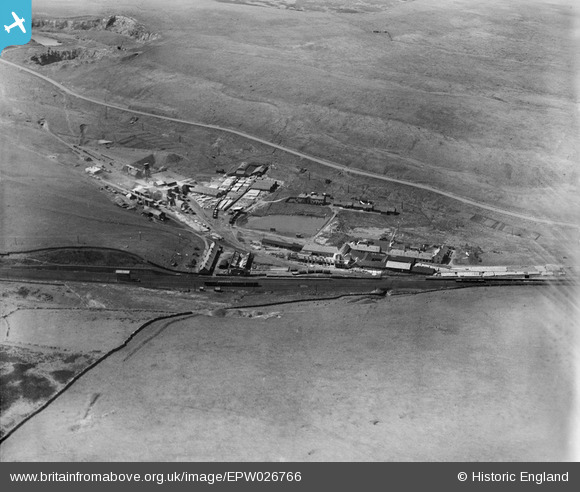
EPW026766 ENGLAND (1929). The Shap Granite Works, Shap, 1929
© Copyright OpenStreetMap contributors and licensed by the OpenStreetMap Foundation. 2025. Cartography is licensed as CC BY-SA.
Nearby Images (9)
EPW026766

EPW026763

EPW026768

EPW026759

EPW026765

EPW026764

EPW026762

EPW026761

EPW026767

Details
| Title | [EPW026766] The Shap Granite Works, Shap, 1929 |
| Reference | EPW026766 |
| Date | May-1929 |
| Link | |
| Place name | SHAP |
| Parish | SHAP |
| District | |
| Country | ENGLAND |
| Easting / Northing | 356845, 511249 |
| Longitude / Latitude | -2.6663492512867, 54.494601475063 |
| National Grid Reference | NY568112 |
Pins

John Wass |
Saturday 10th of January 2015 08:10:54 PM |