
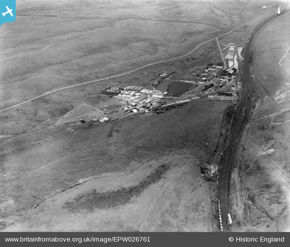
EPW026761 ENGLAND (1929). The Shap Granite Works, Shap, 1929
© Copyright OpenStreetMap contributors and licensed by the OpenStreetMap Foundation. 2025. Cartography is licensed as CC BY-SA.
Nearby Images (9)
EPW026761

EPW026762

EPW026765

EPW026759

EPW026767

EPW026764

EPW026763

EPW026766

EPW026768

Details
| Title | [EPW026761] The Shap Granite Works, Shap, 1929 |
| Reference | EPW026761 |
| Date | May-1929 |
| Link | |
| Place name | SHAP |
| Parish | SHAP |
| District | |
| Country | ENGLAND |
| Easting / Northing | 356875, 511083 |
| Longitude / Latitude | -2.6658618126863, 54.493112124512 |
| National Grid Reference | NY569111 |
Pins

John Wass |
Sunday 1st of November 2015 07:43:50 PM |