
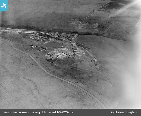
EPW026759 ENGLAND (1929). The Shap Granite Works, Shap, 1929
© Copyright OpenStreetMap contributors and licensed by the OpenStreetMap Foundation. 2025. Cartography is licensed as CC BY-SA.
Nearby Images (9)
EPW026759

EPW026765

EPW026762

EPW026764

EPW026763

EPW026761

EPW026767

EPW026766

EPW026768

Details
| Title | [EPW026759] The Shap Granite Works, Shap, 1929 |
| Reference | EPW026759 |
| Date | May-1929 |
| Link | |
| Place name | SHAP |
| Parish | SHAP |
| District | |
| Country | ENGLAND |
| Easting / Northing | 356819, 511134 |
| Longitude / Latitude | -2.6667338623453, 54.493565715372 |
| National Grid Reference | NY568111 |
Pins
Be the first to add a comment to this image!