
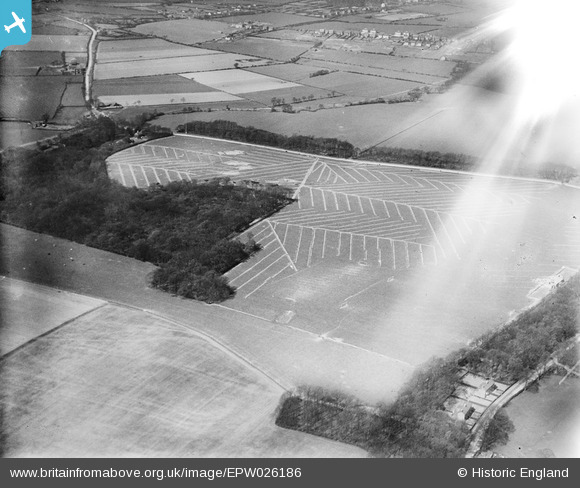
EPW026186 ENGLAND (1929). Gorse Covert and adjoining fields at Arrowe Hill, Birkenhead, 1929
© Copyright OpenStreetMap contributors and licensed by the OpenStreetMap Foundation. 2026. Cartography is licensed as CC BY-SA.
Nearby Images (4)
EPW026186

EPW026184

EPW026185

EPW026183

Details
| Title | [EPW026186] Gorse Covert and adjoining fields at Arrowe Hill, Birkenhead, 1929 |
| Reference | EPW026186 |
| Date | April-1929 |
| Link | |
| Place name | BIRKENHEAD |
| Parish | |
| District | |
| Country | ENGLAND |
| Easting / Northing | 326915, 386802 |
| Longitude / Latitude | -3.0986363667728, 53.372752371839 |
| National Grid Reference | SJ269868 |
Pins
Be the first to add a comment to this image!