
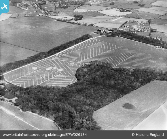
EPW026184 ENGLAND (1929). Gorse Covert and adjoining fields at Arrowe Hill, Birkenhead, 1929
© Copyright OpenStreetMap contributors and licensed by the OpenStreetMap Foundation. 2026. Cartography is licensed as CC BY-SA.
Nearby Images (4)
EPW026184

EPW026185

EPW026183

EPW026186

Details
| Title | [EPW026184] Gorse Covert and adjoining fields at Arrowe Hill, Birkenhead, 1929 |
| Reference | EPW026184 |
| Date | April-1929 |
| Link | |
| Place name | BIRKENHEAD |
| Parish | |
| District | |
| Country | ENGLAND |
| Easting / Northing | 326795, 386865 |
| Longitude / Latitude | -3.1004544758272, 53.373302002427 |
| National Grid Reference | SJ268869 |
Pins

Roger Reid |
Tuesday 18th of February 2014 12:35:23 AM |