
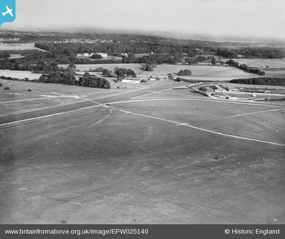
EPW025140 ENGLAND (1928). Epsom Downs Race Course, Epsom Downs, from the south-west, 1928
© Copyright OpenStreetMap contributors and licensed by the OpenStreetMap Foundation. 2026. Cartography is licensed as CC BY-SA.
Nearby Images (26)
EPW025140

EAW049845

EPW006441

EAW049846

EAW002166

EPW006391

EPW027459

EPW006400

EAW036447

EPW006382

EPW006364

EPW035517

EAW017627

EAW043435

EPW006387

EPW027461

EAW002167

EPW006384

EPW006363

EAW000997

EPW025147

EAW000991

EAW002165

EPW027457

EPW007653

EPW007656

Details
| Title | [EPW025140] Epsom Downs Race Course, Epsom Downs, from the south-west, 1928 |
| Reference | EPW025140 |
| Date | October-1928 |
| Link | |
| Place name | EPSOM DOWNS |
| Parish | |
| District | |
| Country | ENGLAND |
| Easting / Northing | 522145, 158209 |
| Longitude / Latitude | -0.24738209356636, 51.309365966277 |
| National Grid Reference | TQ221582 |
Pins
Be the first to add a comment to this image!