
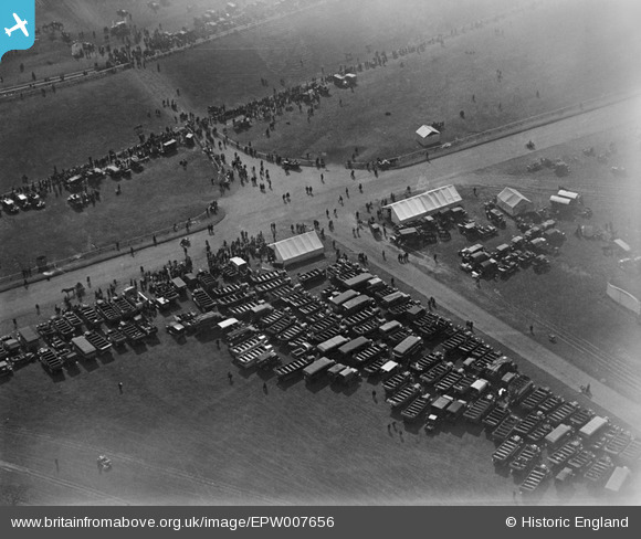
EPW007656 ENGLAND (1922). Tattenham Corner, Epsom, 1922
© Copyright OpenStreetMap contributors and licensed by the OpenStreetMap Foundation. 2026. Cartography is licensed as CC BY-SA.
Nearby Images (16)
EPW007656

EPW027520

EPW027461

EPW008668

EPW006489

EPW035517

EPW006488

EAW036447

EPW006384

EPW027460

EPW007908

EPW006400

EAW049845

EPW035518

EPW006441

EPW025140

Details
| Title | [EPW007656] Tattenham Corner, Epsom, 1922 |
| Reference | EPW007656 |
| Date | 18-April-1922 |
| Link | |
| Place name | EPSOM |
| Parish | |
| District | |
| Country | ENGLAND |
| Easting / Northing | 522386, 158433 |
| Longitude / Latitude | -0.24384892676422, 51.311327618269 |
| National Grid Reference | TQ224584 |
