
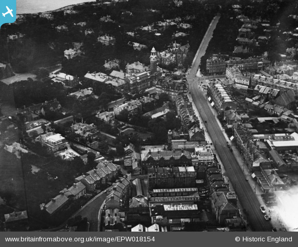
EPW018154 ENGLAND (1927). Holdenhurst Road and the Lansdowne Crescent junction, Bournemouth, 1927. This image has been produced from a print.
© Copyright OpenStreetMap contributors and licensed by the OpenStreetMap Foundation. 2026. Cartography is licensed as CC BY-SA.
Nearby Images (6)
EPW018154

EPR000660

EPW037417

EPW013557

EPW000251

EPW013568

Details
| Title | [EPW018154] Holdenhurst Road and the Lansdowne Crescent junction, Bournemouth, 1927. This image has been produced from a print. |
| Reference | EPW018154 |
| Date | 5-June-1927 |
| Link | |
| Place name | BOURNEMOUTH |
| Parish | |
| District | |
| Country | ENGLAND |
| Easting / Northing | 409632, 91439 |
| Longitude / Latitude | -1.8635334937031, 50.721921936754 |
| National Grid Reference | SZ096914 |
Pins
Be the first to add a comment to this image!