
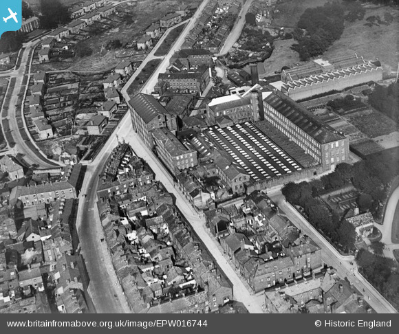
EPW016744 ENGLAND (1926). Albert Silk Mills and environs, Macclesfield, 1926
© Copyright OpenStreetMap contributors and licensed by the OpenStreetMap Foundation. 2026. Cartography is licensed as CC BY-SA.
Nearby Images (15)
EPW016744

EAW016060

EPW050705

EAW016061

EPW050703

EPW050701

EPW050700

EAW016056

EPW050702

EAW016055

EAW016057

EAW016058

EPW050704

EAW016059

EPW016740

Details
| Title | [EPW016744] Albert Silk Mills and environs, Macclesfield, 1926 |
| Reference | EPW016744 |
| Date | 28-August-1926 |
| Link | |
| Place name | MACCLESFIELD |
| Parish | |
| District | |
| Country | ENGLAND |
| Easting / Northing | 392228, 374046 |
| Longitude / Latitude | -2.1165299578154, 53.263077839182 |
| National Grid Reference | SJ922740 |
