
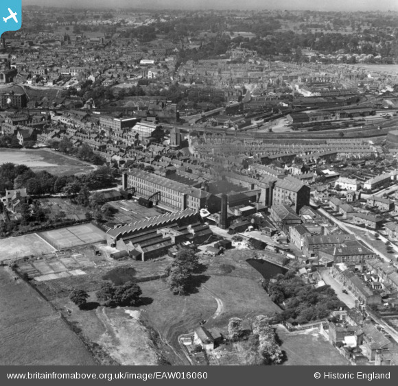
EAW016060 ENGLAND (1948). The Brocklehurst-Whiston Amalgamated Ltd Silk Mill and environs, Hurdsfield, 1948. This image has been produced from a print.
© Copyright OpenStreetMap contributors and licensed by the OpenStreetMap Foundation. 2026. Cartography is licensed as CC BY-SA.
Nearby Images (15)
EAW016060

EPW050705

EAW016061

EPW050703

EPW050701

EPW050700

EPW016744

EAW016056

EAW016057

EAW016055

EPW050702

EAW016058

EPW050704

EAW016059

EPW016740

Details
| Title | [EAW016060] The Brocklehurst-Whiston Amalgamated Ltd Silk Mill and environs, Hurdsfield, 1948. This image has been produced from a print. |
| Reference | EAW016060 |
| Date | 21-May-1948 |
| Link | |
| Place name | HURDSFIELD |
| Parish | |
| District | |
| Country | ENGLAND |
| Easting / Northing | 392275, 374049 |
| Longitude / Latitude | -2.1158253348904, 53.263105495167 |
| National Grid Reference | SJ923740 |
Pins
Be the first to add a comment to this image!