
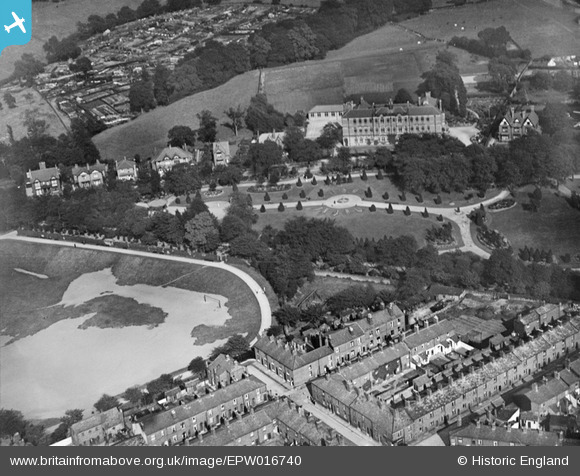
EPW016740 ENGLAND (1926). Victoria Park, Macclesfield, 1926
© Copyright OpenStreetMap contributors and licensed by the OpenStreetMap Foundation. 2026. Cartography is licensed as CC BY-SA.
Nearby Images (10)
EPW016740

EPW050702

EAW016055

EPW050704

EAW016058

EAW016056

EPW050700

EPW050701

EAW016060

EPW016744

Details
| Title | [EPW016740] Victoria Park, Macclesfield, 1926 |
| Reference | EPW016740 |
| Date | 28-August-1926 |
| Link | |
| Place name | MACCLESFIELD |
| Parish | |
| District | |
| Country | ENGLAND |
| Easting / Northing | 392277, 373802 |
| Longitude / Latitude | -2.1157893501035, 53.260885043057 |
| National Grid Reference | SJ923738 |
Pins

mizzitrain |
Wednesday 6th of October 2021 03:59:57 PM | |
|
Steve Gregory |
Monday 21st of January 2013 09:21:30 PM | |

Class31 |
Friday 7th of September 2012 07:05:44 PM | |
|
Class31 |
Friday 7th of September 2012 07:53:13 AM | |
|
Class31 |
Friday 7th of September 2012 07:43:18 AM | |
It's the Girls' Division of the King's School now, but when this photograph was taken, it was Macclesfield High School for Girls. |
Steve Gregory |
Monday 21st of January 2013 09:23:01 PM |