
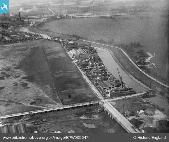
EPW005647 ENGLAND (1921). Factories and wharves alongside the Hackney Cut Navigation, Hackney Marsh, 1921
© Copyright OpenStreetMap contributors and licensed by the OpenStreetMap Foundation. 2026. Cartography is licensed as CC BY-SA.
Nearby Images (18)
EPW005647

EPW005649

EPW040913

EPW040912

EPW040917

EPW040914

EPW040916

EPW040915

EPW044838

EPW043987

EPW043988

EPW043990

EPW044837

EPW044839

EPW043989

EPW040918

EPW005646

EPW005648

Details
| Title | [EPW005647] Factories and wharves alongside the Hackney Cut Navigation, Hackney Marsh, 1921 |
| Reference | EPW005647 |
| Date | March-1921 |
| Link | |
| Place name | HACKNEY MARSH |
| Parish | |
| District | |
| Country | ENGLAND |
| Easting / Northing | 536509, 185602 |
| Longitude / Latitude | -0.030841986996098, 51.552291182018 |
| National Grid Reference | TQ365856 |
Pins

Dank |
Friday 7th of February 2020 07:48:38 PM | |
 8-2007.JPG)
Keith |
Thursday 8th of August 2013 10:11:02 PM | |
These changing rooms were, as I understand [ before my time in Hackney] called the Cattle Sheds and were cold and dirty! The were burnt down in the 1970s I understand |
hackneyglyn |
Thursday 31st of December 2015 09:56:29 AM |
|
Keith |
Friday 16th of November 2012 12:06:57 AM | |
|
divadnosae |
Friday 17th of August 2012 10:20:42 PM | |
|
divadnosae |
Friday 17th of August 2012 10:20:15 PM | |
|
divadnosae |
Friday 17th of August 2012 10:19:22 PM | |
|
divadnosae |
Friday 17th of August 2012 10:18:51 PM |