
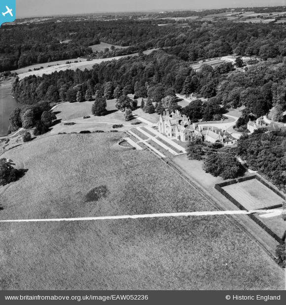
EAW052236 ENGLAND (1953). Bayham Abbey, Lamberhurst, from the east, 1953. This image was marked by Aerofilms Ltd for photo editing.
© Copyright OpenStreetMap contributors and licensed by the OpenStreetMap Foundation. 2026. Cartography is licensed as CC BY-SA.
Nearby Images (26)
EAW052236

EAW052242

EAW024770

EAW043922

EAW043925

EAW043927

EAW052231

EAW052241

EAW024768

EAW043930

EAW043926

EAW048719

EAW048720

EAW052230

EAW024772

EAW043929

EAW052233

EAW043928

EAW052238

EAW052234

EAW052232

EAW052235

EAW043924

EAW024773

EAW052237

EAW043931

Details
| Title | [EAW052236] Bayham Abbey, Lamberhurst, from the east, 1953. This image was marked by Aerofilms Ltd for photo editing. |
| Reference | EAW052236 |
| Date | 8-September-1953 |
| Link | |
| Place name | LAMBERHURST |
| Parish | LAMBERHURST |
| District | |
| Country | ENGLAND |
| Easting / Northing | 564589, 136746 |
| Longitude / Latitude | 0.35130474933447, 51.105821069522 |
| National Grid Reference | TQ646367 |
Pins
Be the first to add a comment to this image!