
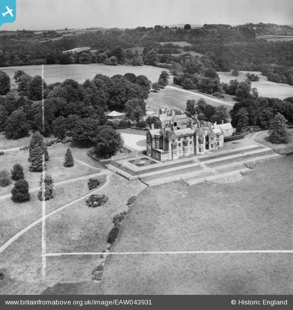
EAW043931 ENGLAND (1952). Bayham Abbey, Lamberhurst, from the south-west, 1952. This image was marked by Aerofilms Ltd for photo editing.
© Copyright OpenStreetMap contributors and licensed by the OpenStreetMap Foundation. 2026. Cartography is licensed as CC BY-SA.
Nearby Images (29)
EAW043931

EAW052237

EAW052238

EAW043928

EAW052234

EAW043929

EAW052233

EAW052232

EAW052235

EAW052230

EAW024768

EAW048720

EAW052231

EAW043930

EAW043924

EAW043925

EAW043926

EAW048719

EAW024773

EAW043922

EAW024772

EAW043919

EAW043927

EAW043920

EAW043921

EAW052242

EAW052236

EAW024770

EAW052240

Details
| Title | [EAW043931] Bayham Abbey, Lamberhurst, from the south-west, 1952. This image was marked by Aerofilms Ltd for photo editing. |
| Reference | EAW043931 |
| Date | 10-June-1952 |
| Link | |
| Place name | LAMBERHURST |
| Parish | LAMBERHURST |
| District | |
| Country | ENGLAND |
| Easting / Northing | 564361, 136737 |
| Longitude / Latitude | 0.34804639238096, 51.105805627027 |
| National Grid Reference | TQ644367 |
Pins
Be the first to add a comment to this image!