
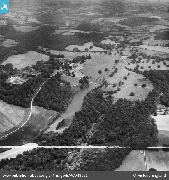
EAW043921 ENGLAND (1952). Bayham Abbey and the surrounding parkland, Lamberhurst, 1952. This image was marked by Aerofilms Ltd for photo editing.
© Copyright OpenStreetMap contributors and licensed by the OpenStreetMap Foundation. 2026. Cartography is licensed as CC BY-SA.
Nearby Images (11)
EAW043921

EAW043920

EAW043919

EAW052239

EAW052240

EAW043931

EAW052237

EAW052234

EAW052235

EAW052232

EAW024773

Details
| Title | [EAW043921] Bayham Abbey and the surrounding parkland, Lamberhurst, 1952. This image was marked by Aerofilms Ltd for photo editing. |
| Reference | EAW043921 |
| Date | 10-June-1952 |
| Link | |
| Place name | LAMBERHURST |
| Parish | LAMBERHURST |
| District | |
| Country | ENGLAND |
| Easting / Northing | 564171, 136671 |
| Longitude / Latitude | 0.34530447828853, 51.105267032832 |
| National Grid Reference | TQ642367 |
Pins
Be the first to add a comment to this image!