
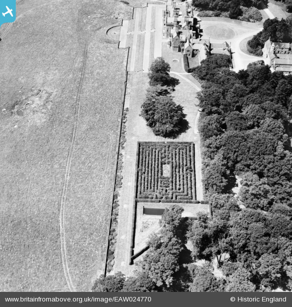
EAW024770 ENGLAND (1949). The maze at Bayham Abbey, Bayham Abbey, 1949
© Copyright OpenStreetMap contributors and licensed by the OpenStreetMap Foundation. 2026. Cartography is licensed as CC BY-SA.
Nearby Images (26)
EAW024770

EAW052236

EAW052242

EAW043927

EAW043925

EAW043926

EAW052231

EAW048719

EAW043930

EAW024768

EAW024772

EAW048720

EAW052230

EAW043922

EAW043929

EAW052233

EAW043928

EAW052238

EAW052234

EAW052232

EAW043924

EAW052235

EAW024773

EAW052241

EAW052237

EAW043931

Details
| Title | [EAW024770] The maze at Bayham Abbey, Bayham Abbey, 1949 |
| Reference | EAW024770 |
| Date | 12-July-1949 |
| Link | |
| Place name | BAYHAM ABBEY |
| Parish | LAMBERHURST |
| District | |
| Country | ENGLAND |
| Easting / Northing | 564584, 136791 |
| Longitude / Latitude | 0.35125391008476, 51.106226854343 |
| National Grid Reference | TQ646368 |
Pins
Be the first to add a comment to this image!