
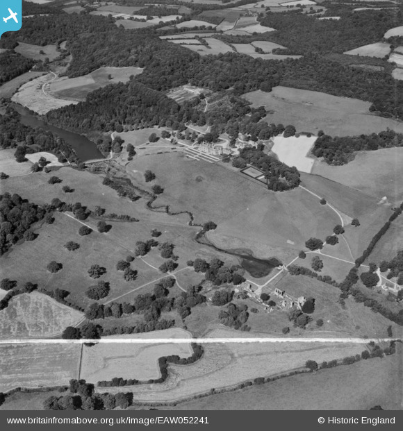
EAW052241 ENGLAND (1953). The River Teise, Bayham Abbey and surrounding parkland, Lamberhurst, 1953. This image was marked by Aerofilms Ltd for photo editing.
© Copyright OpenStreetMap contributors and licensed by the OpenStreetMap Foundation. 2026. Cartography is licensed as CC BY-SA.
Nearby Images (20)
EAW052241

EAW052242

EAW052236

EAW043922

EAW024770

EAW043925

EAW052231

EAW043927

EAW024768

EAW043930

EAW048720

EAW043926

EAW052230

EAW048719

EAW043929

EAW043928

EAW052233

EAW052238

EAW024772

EAW043924

Details
| Title | [EAW052241] The River Teise, Bayham Abbey and surrounding parkland, Lamberhurst, 1953. This image was marked by Aerofilms Ltd for photo editing. |
| Reference | EAW052241 |
| Date | 8-September-1953 |
| Link | |
| Place name | LAMBERHURST |
| Parish | LAMBERHURST |
| District | |
| Country | ENGLAND |
| Easting / Northing | 564670, 136625 |
| Longitude / Latitude | 0.35240564585996, 51.104710554906 |
| National Grid Reference | TQ647366 |
Pins
Be the first to add a comment to this image!