
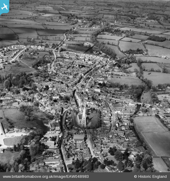
EAW048983 ENGLAND (1953). The town, Buckingham, 1953
© Copyright OpenStreetMap contributors and licensed by the OpenStreetMap Foundation. 2026. Cartography is licensed as CC BY-SA.
Nearby Images (10)
EAW048983

EAW015427

EAW015428

EPW005043

EAW015425

EPW005039

EAW015424

EAW015426

EAW048981

EAW048982

Details
| Title | [EAW048983] The town, Buckingham, 1953 |
| Reference | EAW048983 |
| Date | 5-May-1953 |
| Link | |
| Place name | BUCKINGHAM |
| Parish | BUCKINGHAM |
| District | |
| Country | ENGLAND |
| Easting / Northing | 469620, 234011 |
| Longitude / Latitude | -0.98577393623601, 51.999745371362 |
| National Grid Reference | SP696340 |
Pins

alastair wallace |
Saturday 31st of October 2015 11:04:45 PM |