
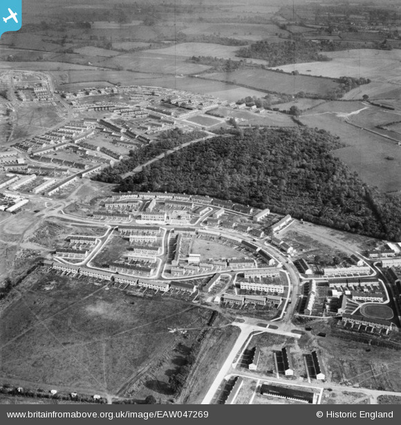
EAW047269 ENGLAND (1952). The residential area at Monks Wood alongside Whomerley Wood, Bedwell, 1952
© Copyright OpenStreetMap contributors and licensed by the OpenStreetMap Foundation. 2026. Cartography is licensed as CC BY-SA.
Nearby Images (10)
EAW047269

EAW041985

EAW041980

EAW047268

EAW047270

EAW047266

EAW041982

EAW047267

EAW047261

EAW047271

Details
| Title | [EAW047269] The residential area at Monks Wood alongside Whomerley Wood, Bedwell, 1952 |
| Reference | EAW047269 |
| Date | 15-October-1952 |
| Link | |
| Place name | BEDWELL |
| Parish | |
| District | |
| Country | ENGLAND |
| Easting / Northing | 524554, 223664 |
| Longitude / Latitude | -0.18958089664657, 51.897147607565 |
| National Grid Reference | TL246237 |
Pins

Hugh Madgin |
Wednesday 8th of October 2014 02:08:16 PM | |
|
Chells809 |
Thursday 12th of June 2014 10:09:48 PM | |
|
Chells809 |
Thursday 12th of June 2014 10:08:35 PM | |
|
Chells809 |
Thursday 12th of June 2014 10:07:39 PM | |
|
Chells809 |
Thursday 12th of June 2014 10:06:49 PM | |
|
Chells809 |
Thursday 12th of June 2014 10:06:05 PM | |
|
Chells809 |
Thursday 12th of June 2014 10:05:30 PM | |
|
Chells809 |
Thursday 12th of June 2014 10:04:44 PM |