
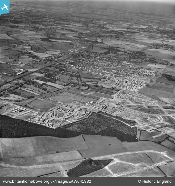
EAW041982 ENGLAND (1952). The town and surrounding housing development, Stevenage, from the south-east, 1952
© Copyright OpenStreetMap contributors and licensed by the OpenStreetMap Foundation. 2026. Cartography is licensed as CC BY-SA.
Nearby Images (3)
EAW041982

EAW047269

EAW041984

Details
| Title | [EAW041982] The town and surrounding housing development, Stevenage, from the south-east, 1952 |
| Reference | EAW041982 |
| Date | 14-March-1952 |
| Link | |
| Place name | STEVENAGE |
| Parish | |
| District | |
| Country | ENGLAND |
| Easting / Northing | 524682, 223455 |
| Longitude / Latitude | -0.18779698633724, 51.895240613526 |
| National Grid Reference | TL247235 |
Pins
Be the first to add a comment to this image!