
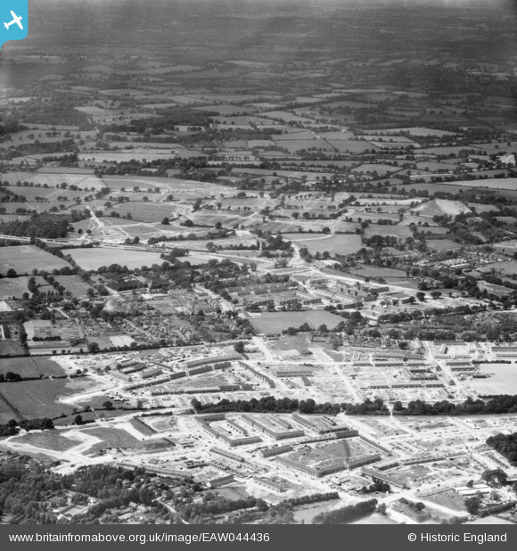
EAW044436 ENGLAND (1952). The Northgate area looking towards Langley Green, Crawley, from the south-east, 1952
© Copyright OpenStreetMap contributors and licensed by the OpenStreetMap Foundation. 2025. Cartography is licensed as CC BY-SA.
Nearby Images (7)
EAW044436

EAW044438

EAW051198

EAW051197

EAW044435

EAW044439

EAW044434

Details
| Title | [EAW044436] The Northgate area looking towards Langley Green, Crawley, from the south-east, 1952 |
| Reference | EAW044436 |
| Date | 27-June-1952 |
| Link | |
| Place name | CRAWLEY |
| Parish | |
| District | |
| Country | ENGLAND |
| Easting / Northing | 527507, 137150 |
| Longitude / Latitude | -0.17797418626085, 51.118903396661 |
| National Grid Reference | TQ275372 |
Pins
Be the first to add a comment to this image!