
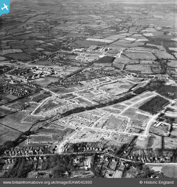
EAW041930 ENGLAND (1952). Construction of the Northgate neighbourhood, Crawley, 1952
© Copyright OpenStreetMap contributors and licensed by the OpenStreetMap Foundation. 2025. Cartography is licensed as CC BY-SA.
Nearby Images (6)
EAW041930

EAW044434

EAW051198

EAW051197

EAW044435

EAW050913

Details
| Title | [EAW041930] Construction of the Northgate neighbourhood, Crawley, 1952 |
| Reference | EAW041930 |
| Date | 14-March-1952 |
| Link | |
| Place name | CRAWLEY |
| Parish | |
| District | |
| Country | ENGLAND |
| Easting / Northing | 527550, 137422 |
| Longitude / Latitude | -0.17726382925235, 51.121338705826 |
| National Grid Reference | TQ276374 |
Pins
Be the first to add a comment to this image!