
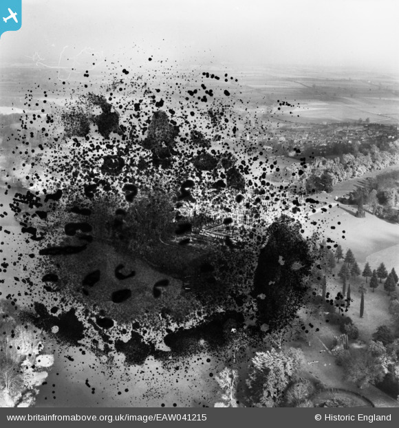
EAW041215 ENGLAND (1951). Blenheim Palace (site of) and Park, Woodstock, from the south, 1951. This image has been produced from a damaged negative.
© Copyright OpenStreetMap contributors and licensed by the OpenStreetMap Foundation. 2026. Cartography is licensed as CC BY-SA.
Nearby Images (8)
EAW041215
 and Park, Woodstock, from the south, 1951. This image has been produced from a damaged negative.")
EAW014901

EAW041214

EAW049258

EPW026924

EAW014900

EAW014899

EAW049259

Details
| Title | [EAW041215] Blenheim Palace (site of) and Park, Woodstock, from the south, 1951. This image has been produced from a damaged negative. |
| Reference | EAW041215 |
| Date | 10-November-1951 |
| Link | |
| Place name | WOODSTOCK |
| Parish | BLENHEIM |
| District | |
| Country | ENGLAND |
| Easting / Northing | 443929, 215877 |
| Longitude / Latitude | -1.3623229403852, 51.839324883117 |
| National Grid Reference | SP439159 |
Pins
Be the first to add a comment to this image!