
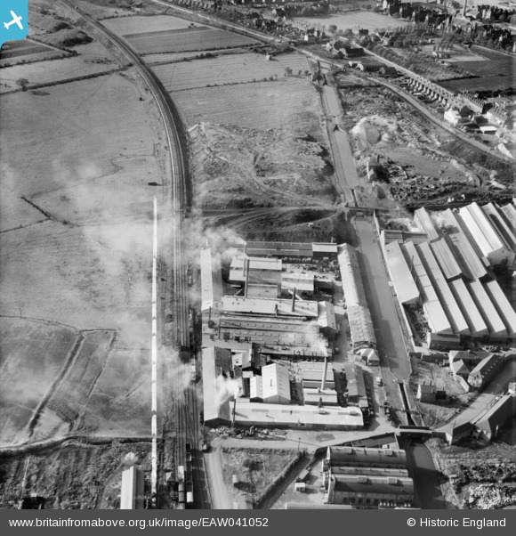
EAW041052 ENGLAND (1951). The Wolverhampton Metal Works, Wednesfield, 1951. This image was marked by Aerofilms Ltd for photo editing.
© Copyright OpenStreetMap contributors and licensed by the OpenStreetMap Foundation. 2026. Cartography is licensed as CC BY-SA.
Nearby Images (9)
EAW041052

EAW041045

EAW041049

EAW041047

EAW041044

EAW041050

EAW041046

EAW041048

EAW041051

Details
| Title | [EAW041052] The Wolverhampton Metal Works, Wednesfield, 1951. This image was marked by Aerofilms Ltd for photo editing. |
| Reference | EAW041052 |
| Date | 23-October-1951 |
| Link | |
| Place name | WEDNESFIELD |
| Parish | |
| District | |
| Country | ENGLAND |
| Easting / Northing | 394293, 299795 |
| Longitude / Latitude | -2.0842619530274, 52.59556419564 |
| National Grid Reference | SO943998 |
Pins

redmist |
Tuesday 11th of October 2022 09:07:00 AM | |
|
redmist |
Tuesday 11th of October 2022 09:06:30 AM | |
|
John W |
Friday 10th of February 2017 06:36:24 PM | |
|
John W |
Friday 10th of February 2017 06:35:38 PM | |
|
Martin |
Friday 24th of October 2014 11:51:53 PM | |
|
Martin |
Friday 24th of October 2014 11:51:11 PM |