
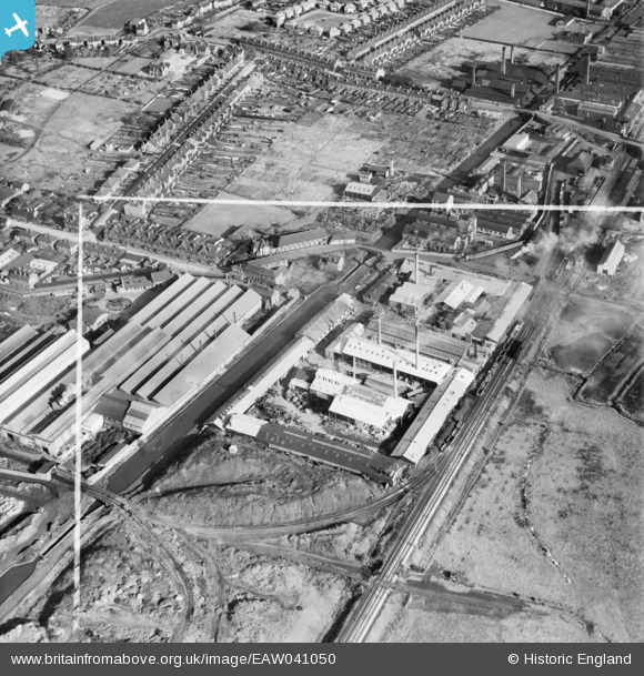
EAW041050 ENGLAND (1951). The Wolverhampton Metal Works and environs, Wednesfield, 1951. This image was marked by Aerofilms Ltd for photo editing.
© Copyright OpenStreetMap contributors and licensed by the OpenStreetMap Foundation. 2026. Cartography is licensed as CC BY-SA.
Nearby Images (10)
EAW041050

EAW041046

EAW041048

EAW041044

EAW041045

EAW041047

EAW041051

EAW041049

EAW041052

EPW007885

Details
| Title | [EAW041050] The Wolverhampton Metal Works and environs, Wednesfield, 1951. This image was marked by Aerofilms Ltd for photo editing. |
| Reference | EAW041050 |
| Date | 23-October-1951 |
| Link | |
| Place name | WEDNESFIELD |
| Parish | |
| District | |
| Country | ENGLAND |
| Easting / Northing | 394384, 299826 |
| Longitude / Latitude | -2.082918896083, 52.595843859314 |
| National Grid Reference | SO944998 |
Pins

redmist |
Tuesday 11th of October 2022 09:05:41 AM | |
|
redmist |
Tuesday 11th of October 2022 09:04:11 AM | |
|
WendyV |
Wednesday 15th of October 2014 01:39:36 PM | |
|
WendyV |
Wednesday 15th of October 2014 01:39:08 PM | |
|
WendyV |
Wednesday 15th of October 2014 01:37:32 PM |