
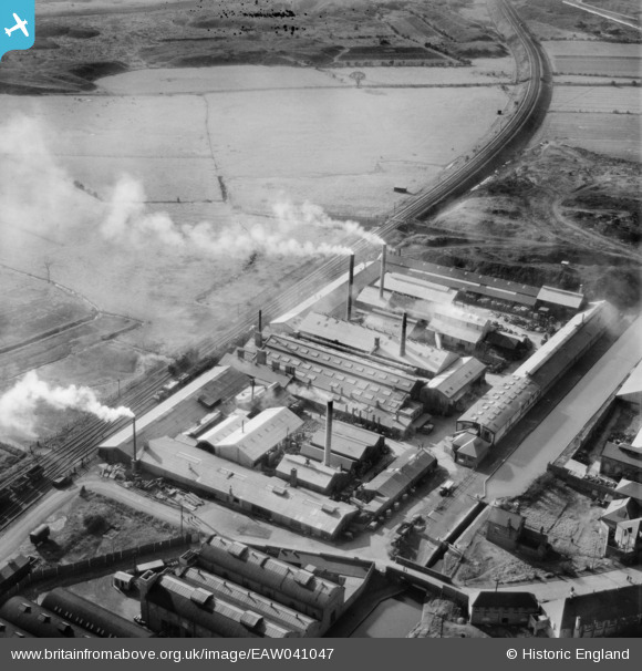
EAW041047 ENGLAND (1951). The Wolverhampton Metal Works, Wednesfield, 1951
© Copyright OpenStreetMap contributors and licensed by the OpenStreetMap Foundation. 2026. Cartography is licensed as CC BY-SA.
Nearby Images (10)
EAW041047

EAW041049

EAW041044

EAW041045

EAW041048

EAW041050

EAW041052

EAW041046

EAW041051

EPW007885

Details
| Title | [EAW041047] The Wolverhampton Metal Works, Wednesfield, 1951 |
| Reference | EAW041047 |
| Date | 23-October-1951 |
| Link | |
| Place name | WEDNESFIELD |
| Parish | |
| District | |
| Country | ENGLAND |
| Easting / Northing | 394363, 299754 |
| Longitude / Latitude | -2.0832277290391, 52.595196302648 |
| National Grid Reference | SO944998 |
Pins

redmist |
Tuesday 11th of October 2022 09:00:53 AM |