
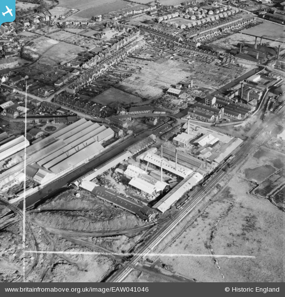
EAW041046 ENGLAND (1951). The Wolverhampton Metal Works and environs, Wednesfield, 1951. This image was marked by Aerofilms Ltd for photo editing.
© Copyright OpenStreetMap contributors and licensed by the OpenStreetMap Foundation. 2026. Cartography is licensed as CC BY-SA.
Nearby Images (10)
EAW041046

EAW041050

EAW041048

EAW041044

EAW041045

EAW041051

EAW041047

EAW041049

EAW041052

EPW007885

Details
| Title | [EAW041046] The Wolverhampton Metal Works and environs, Wednesfield, 1951. This image was marked by Aerofilms Ltd for photo editing. |
| Reference | EAW041046 |
| Date | 23-October-1951 |
| Link | |
| Place name | WEDNESFIELD |
| Parish | |
| District | |
| Country | ENGLAND |
| Easting / Northing | 394400, 299829 |
| Longitude / Latitude | -2.0826827109563, 52.59587099692 |
| National Grid Reference | SO944998 |
Pins

redmist |
Tuesday 11th of October 2022 08:59:11 AM | |
|
redmist |
Tuesday 11th of October 2022 08:58:13 AM | |
|
jennie crockett |
Sunday 22nd of February 2015 06:16:05 PM | |
|
jennie crockett |
Sunday 22nd of February 2015 06:14:22 PM | |
|
jennie crockett |
Sunday 22nd of February 2015 06:14:03 PM | |
|
jennie crockett |
Sunday 22nd of February 2015 06:13:37 PM | |
|
WendyV |
Monday 13th of October 2014 08:06:54 AM | |
|
WendyV |
Monday 13th of October 2014 08:05:41 AM | |
|
WendyV |
Monday 13th of October 2014 08:03:49 AM | |
|
WendyV |
Monday 13th of October 2014 08:03:03 AM | |
|
BigFish |
Friday 23rd of May 2014 12:10:04 AM | |
|
BigFish |
Friday 23rd of May 2014 12:10:03 AM | |
|
BigFish |
Friday 23rd of May 2014 12:10:03 AM | |
|
BigFish |
Friday 23rd of May 2014 12:09:58 AM |