
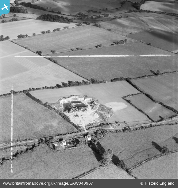
EAW040967 ENGLAND (1951). A gravel pit off the A1060, Roxwell, 1951. This image was marked by Aerofilms Ltd for photo editing.
© Copyright OpenStreetMap contributors and licensed by the OpenStreetMap Foundation. 2026. Cartography is licensed as CC BY-SA.
Nearby Images (8)
EAW040967

EAW040968

EAW040963

EAW040961

EAW040964

EAW040966

EAW040962

EAW040965

Details
| Title | [EAW040967] A gravel pit off the A1060, Roxwell, 1951. This image was marked by Aerofilms Ltd for photo editing. |
| Reference | EAW040967 |
| Date | 17-October-1951 |
| Link | |
| Place name | ROXWELL |
| Parish | ROXWELL |
| District | |
| Country | ENGLAND |
| Easting / Northing | 565699, 208560 |
| Longitude / Latitude | 0.40074411058621, 51.750737650542 |
| National Grid Reference | TL657086 |
Pins
Be the first to add a comment to this image!
User Comment Contributions
Gravel pit near Roxwell |

TomRobin |
Friday 27th of June 2014 05:19:22 PM |
Thia group of images was taken for Peters and Barham Ltd. We'll update the catalogue and post the new location data here in due course. Yours, Katy Britain from Above Cataloguing Team Leader |
Katy Whitaker |
Friday 27th of June 2014 05:19:22 PM |
EAW040961 to EAW040968 are a sequence all taken on 17/10/1951 showing the same area. |

Class31 |
Friday 6th of June 2014 07:54:12 AM |