
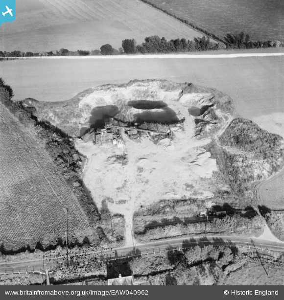
EAW040962 ENGLAND (1951). A gravel pit off the A1060, Roxwell, 1951. This image was marked by Aerofilms Ltd for photo editing.
© Copyright OpenStreetMap contributors and licensed by the OpenStreetMap Foundation. 2026. Cartography is licensed as CC BY-SA.
Nearby Images (8)
EAW040962

EAW040965

EAW040966

EAW040961

EAW040963

EAW040968

EAW040964

EAW040967

Details
| Title | [EAW040962] A gravel pit off the A1060, Roxwell, 1951. This image was marked by Aerofilms Ltd for photo editing. |
| Reference | EAW040962 |
| Date | 17-October-1951 |
| Link | |
| Place name | ROXWELL |
| Parish | ROXWELL |
| District | |
| Country | ENGLAND |
| Easting / Northing | 565601, 208534 |
| Longitude / Latitude | 0.39931318825198, 51.750533041034 |
| National Grid Reference | TL656085 |
Pins
Be the first to add a comment to this image!
User Comment Contributions
Gravel pit near Roxwell |

TomRobin |
Friday 27th of June 2014 05:14:26 PM |
Thanks TomRobin, we'll update the catalogue and post your new location data here in due course. Yours, Katy Britain from Above Cataloguing Team Leader |
Katy Whitaker |
Friday 27th of June 2014 05:14:26 PM |
EAW040961 to EAW040968 are a sequence all taken on 17/10/1951 showing the same area. |

Class31 |
Friday 6th of June 2014 07:51:41 AM |