
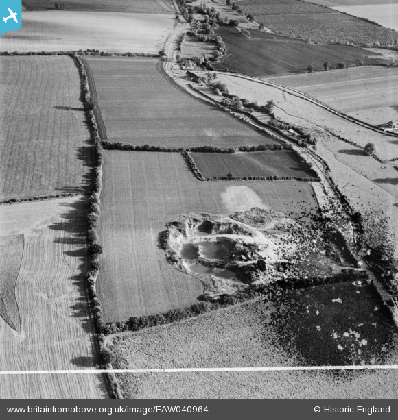
EAW040964 ENGLAND (1951). A gravel pit off the A1060, Roxwell, 1951. This image has been produced from a damaged negative.
© Copyright OpenStreetMap contributors and licensed by the OpenStreetMap Foundation. 2026. Cartography is licensed as CC BY-SA.
Nearby Images (8)
EAW040964

EAW040961

EAW040968

EAW040963

EAW040966

EAW040967

EAW040962

EAW040965

Details
| Title | [EAW040964] A gravel pit off the A1060, Roxwell, 1951. This image has been produced from a damaged negative. |
| Reference | EAW040964 |
| Date | 17-October-1951 |
| Link | |
| Place name | ROXWELL |
| Parish | ROXWELL |
| District | |
| Country | ENGLAND |
| Easting / Northing | 565678, 208495 |
| Longitude / Latitude | 0.40040916453428, 51.750159887501 |
| National Grid Reference | TL657085 |
Pins

Mick |
Thursday 3rd of July 2014 06:57:02 PM | |
|
TomRobin |
Friday 6th of June 2014 10:36:03 PM | |
|
shunter |
Tuesday 29th of April 2014 11:07:42 PM | |
The pub at the road junction gives us a fairly big clue to this location. |

Class31 |
Wednesday 30th of April 2014 03:41:02 PM |
Hare and Hounds |
TomRobin |
Friday 6th of June 2014 10:55:37 PM |
User Comment Contributions
This is the pub at Blackwall Bridge near Roxwell |
TomRobin |
Thursday 3rd of July 2014 06:58:27 PM |
Thanks for the useful pins. We'll update the catalogue and post your new location data here in due course. Yours, Katy Britain from Above Cataloguing Team Leader |
Katy Whitaker |
Friday 27th of June 2014 05:15:53 PM |
I don't think it is. I think it is actually The Hare at Roxwell. It used to be the Hare and Hounds, I think |
Mick |
Thursday 3rd of July 2014 06:58:27 PM |
EAW040961 to EAW040968 are a sequence all taken on 17/10/1951 showing the same area. |
Class31 |
Friday 6th of June 2014 07:52:42 AM |