
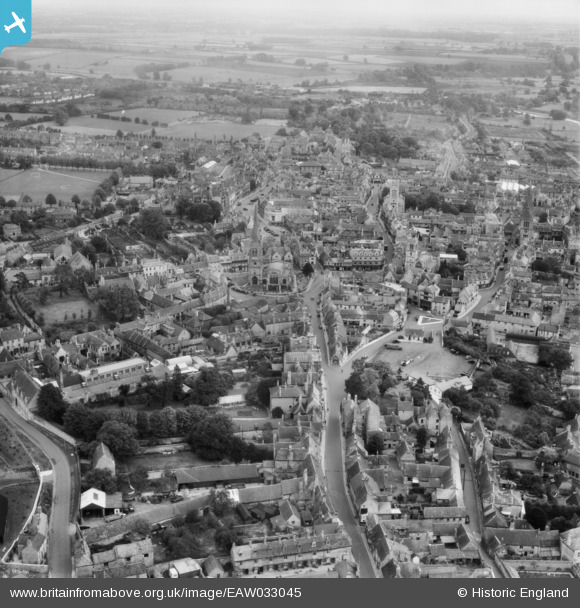
EAW033045 ENGLAND (1950). The town, Stamford, from the south-west, 1950
© Copyright OpenStreetMap contributors and licensed by the OpenStreetMap Foundation. 2026. Cartography is licensed as CC BY-SA.
Nearby Images (19)
EAW033045

EAW033033

EAW033046

EAW033031

EAW033032

EAW033035

EAW033034

EAW033039

EAW033036

EAW033038

EAW043860

EAW033037

EAW033040

EAW043853

EAW013392

EAW043859

EAW033041

EPW054982

EAW033043

Details
| Title | [EAW033045] The town, Stamford, from the south-west, 1950 |
| Reference | EAW033045 |
| Date | 3-October-1950 |
| Link | |
| Place name | STAMFORD |
| Parish | STAMFORD |
| District | |
| Country | ENGLAND |
| Easting / Northing | 502708, 307058 |
| Longitude / Latitude | -0.48158109924447, 52.651166152273 |
| National Grid Reference | TF027071 |
Pins
Be the first to add a comment to this image!