
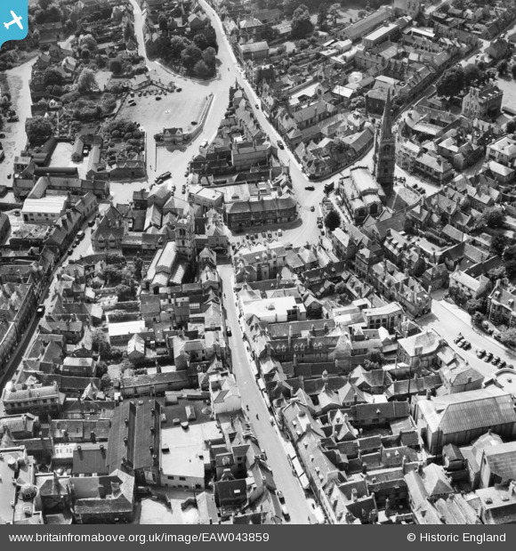
EAW043859 ENGLAND (1952). The town centre, Stamford, 1952
© Copyright OpenStreetMap contributors and licensed by the OpenStreetMap Foundation. 2026. Cartography is licensed as CC BY-SA.
Nearby Images (16)
EAW043859

EAW033043

EAW033041

EAW033042

EPW054982

EAW043860

EAW043863

EPW054985

EAW043861

EAW013392

EAW043862

EPW050308

EAW013391

EAW033044

EAW033046

EAW033045

Details
| Title | [EAW043859] The town centre, Stamford, 1952 |
| Reference | EAW043859 |
| Date | 10-June-1952 |
| Link | |
| Place name | STAMFORD |
| Parish | STAMFORD |
| District | |
| Country | ENGLAND |
| Easting / Northing | 502919, 307119 |
| Longitude / Latitude | -0.47844386909627, 52.65167439193 |
| National Grid Reference | TF029071 |
Pins
Be the first to add a comment to this image!