
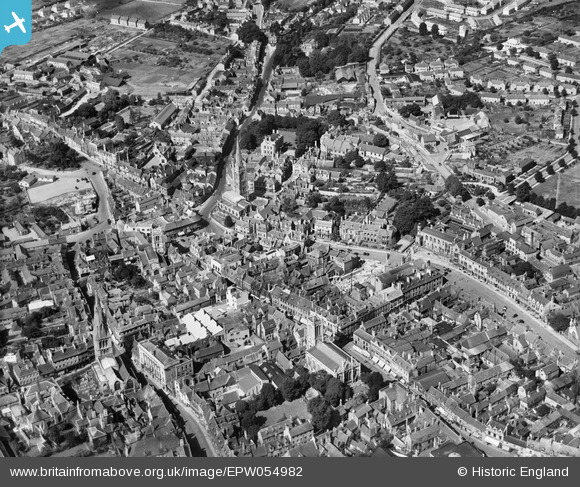
EPW054982 ENGLAND (1937). The town centre, Stamford, 1937
© Copyright OpenStreetMap contributors and licensed by the OpenStreetMap Foundation. 2026. Cartography is licensed as CC BY-SA.
Nearby Images (16)
EPW054982

EAW033043

EAW013392

EAW043859

EAW033042

EAW043860

EPW054985

EAW033041

EAW043863

EPW050308

EAW043861

EAW033044

EAW013391

EAW043862

EAW033046

EAW033045

Details
| Title | [EPW054982] The town centre, Stamford, 1937 |
| Reference | EPW054982 |
| Date | 17-August-1937 |
| Link | |
| Place name | STAMFORD |
| Parish | STAMFORD |
| District | |
| Country | ENGLAND |
| Easting / Northing | 502903, 307174 |
| Longitude / Latitude | -0.47866316162441, 52.652171744785 |
| National Grid Reference | TF029072 |
Pins

Class31 |
Sunday 15th of June 2014 09:14:02 PM | |
|
Class31 |
Tuesday 15th of April 2014 09:56:21 AM | |
|
Class31 |
Tuesday 15th of April 2014 09:44:39 AM | |
|
Class31 |
Tuesday 15th of April 2014 09:40:53 AM | |
|
Class31 |
Tuesday 15th of April 2014 09:37:32 AM | |
|
Class31 |
Tuesday 15th of April 2014 09:33:46 AM | |
 |
Class31 |
Tuesday 15th of April 2014 09:29:49 AM |
|
Class31 |
Tuesday 15th of April 2014 09:24:25 AM | |
|
Class31 |
Tuesday 15th of April 2014 09:21:23 AM | |
|
Class31 |
Tuesday 15th of April 2014 09:18:22 AM | |

diag |
Sunday 22nd of September 2013 05:21:23 PM |


User Comment Contributions
For more information about Stamford Town Centre buildings I found the Stamford Town Centre Appraisal by South Kesteven District Council very interesting. http://www.southkesteven.gov.uk/CHttpHandler.ashx?id=8155&p=0 |
Class31 |
Tuesday 15th of April 2014 09:50:38 AM |