
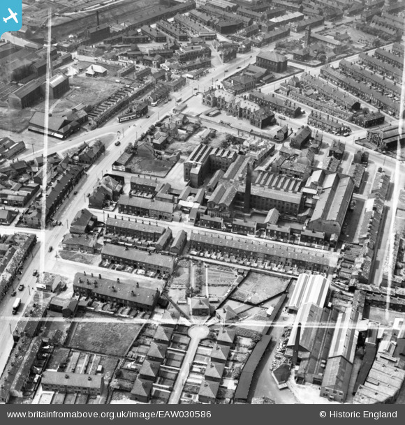
EAW030586 ENGLAND (1950). Kyme Mills, Bradford, 1950. This image was marked by Aerofilms Ltd for photo editing.
© Copyright OpenStreetMap contributors and licensed by the OpenStreetMap Foundation. 2026. Cartography is licensed as CC BY-SA.
Nearby Images (18)
EAW030586

EAW030592

EAW030590

EAW030589

EAW030587

EAW030585

EAW030593

EAW030588

EAW030591

EAW002653

EAW002657

EAW002651

EAW002655

EPW050109

EPW050107

EPW050110

EPW050106

EPW050112

Details
| Title | [EAW030586] Kyme Mills, Bradford, 1950. This image was marked by Aerofilms Ltd for photo editing. |
| Reference | EAW030586 |
| Date | 29-June-1950 |
| Link | |
| Place name | BRADFORD |
| Parish | |
| District | |
| Country | ENGLAND |
| Easting / Northing | 418730, 433183 |
| Longitude / Latitude | -1.7156333521818, 53.794404870924 |
| National Grid Reference | SE187332 |
Pins

H.J.Hill |
Monday 25th of August 2014 12:10:15 PM |