
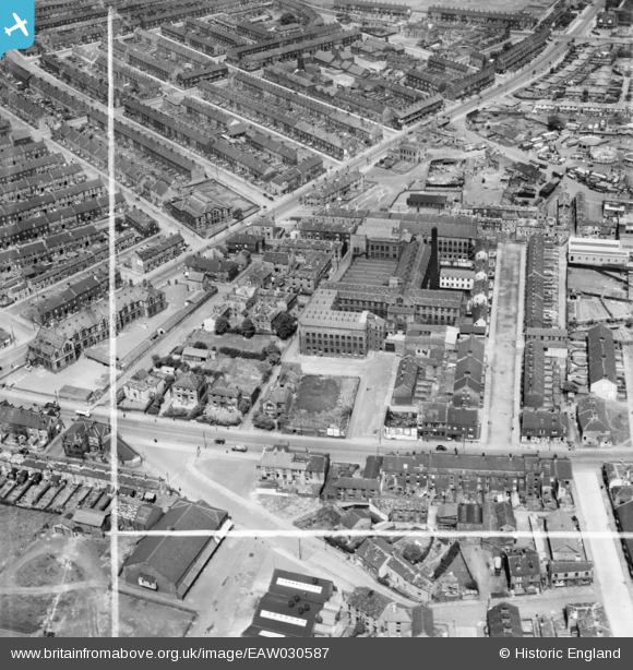
EAW030587 ENGLAND (1950). Kyme Mills, Bradford, 1950. This image was marked by Aerofilms Ltd for photo editing.
© Copyright OpenStreetMap contributors and licensed by the OpenStreetMap Foundation. 2026. Cartography is licensed as CC BY-SA.
Nearby Images (12)
EAW030587

EAW030588

EAW030593

EAW030589

EAW030585

EAW030590

EAW030586

EAW030591

EAW030592

EAW002653

EAW002657

EAW002651

Details
| Title | [EAW030587] Kyme Mills, Bradford, 1950. This image was marked by Aerofilms Ltd for photo editing. |
| Reference | EAW030587 |
| Date | 29-June-1950 |
| Link | |
| Place name | BRADFORD |
| Parish | |
| District | |
| Country | ENGLAND |
| Easting / Northing | 418697, 433137 |
| Longitude / Latitude | -1.7161371570411, 53.793992568053 |
| National Grid Reference | SE187331 |
Pins
Be the first to add a comment to this image!