
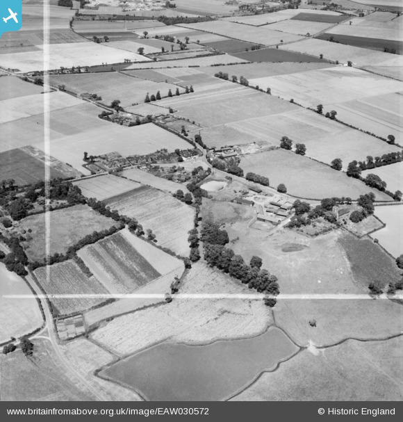
EAW030572 ENGLAND (1950). The village, West Tilbury, 1950. This image was marked by Aerofilms Ltd for photo editing.
© Copyright OpenStreetMap contributors and licensed by the OpenStreetMap Foundation. 2025. Cartography is licensed as CC BY-SA.
Nearby Images (6)
EAW030572

EAW030571

EAW030569

EAW030568

EAW030573

EAW030570

Details
| Title | [EAW030572] The village, West Tilbury, 1950. This image was marked by Aerofilms Ltd for photo editing. |
| Reference | EAW030572 |
| Date | 28-June-1950 |
| Link | |
| Place name | WEST TILBURY |
| Parish | |
| District | |
| Country | ENGLAND |
| Easting / Northing | 566009, 177852 |
| Longitude / Latitude | 0.39068531845615, 51.474751316477 |
| National Grid Reference | TQ660779 |
