
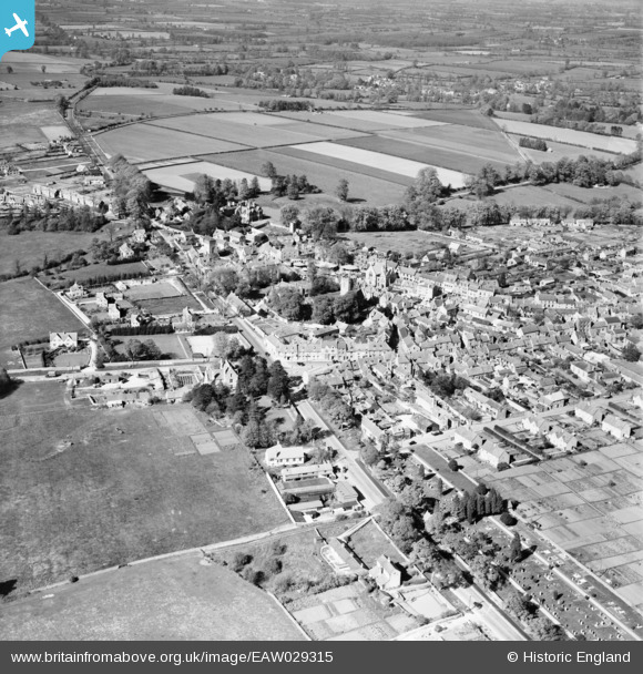
EAW029315 ENGLAND (1950). The town centre, Stow-on-the-Wold, 1950
© Copyright OpenStreetMap contributors and licensed by the OpenStreetMap Foundation. 2026. Cartography is licensed as CC BY-SA.
Nearby Images (17)
EAW029315

EPW026891

EPW026893

EAW048949

EPW026887

EAW029316

EPW026892

EAW014920

EPW026890

EPW026894

EAW014919

EAW048950

EAW048948

EAW048953

EAW048952

EAW048951

EAW029317

Details
| Title | [EAW029315] The town centre, Stow-on-the-Wold, 1950 |
| Reference | EAW029315 |
| Date | 11-May-1950 |
| Link | |
| Place name | STOW-ON-THE-WOLD |
| Parish | STOW-ON-THE-WOLD |
| District | |
| Country | ENGLAND |
| Easting / Northing | 419062, 225735 |
| Longitude / Latitude | -1.7227420681708, 51.929369091375 |
| National Grid Reference | SP191257 |


