
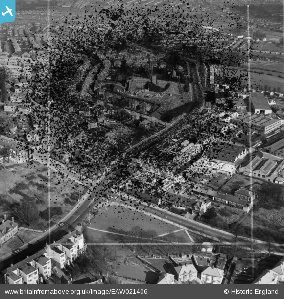
EAW021406 ENGLAND (1949). The Kingsbury Works Estate, Kingsbury, 1949. This image has been produced from a damaged negative.
© Copyright OpenStreetMap contributors and licensed by the OpenStreetMap Foundation. 2026. Cartography is licensed as CC BY-SA.
Nearby Images (9)
EAW021406

EAW021402

EAW021401
, Kingsbury, 1949. This image has been produced from a damaged negative.")
EAW021403

EAW021407

EAW021405

EAW021404

EPW024254

EPW034474

Details
| Title | [EAW021406] The Kingsbury Works Estate, Kingsbury, 1949. This image has been produced from a damaged negative. |
| Reference | EAW021406 |
| Date | 15-March-1949 |
| Link | |
| Place name | KINGSBURY |
| Parish | |
| District | |
| Country | ENGLAND |
| Easting / Northing | 520629, 188528 |
| Longitude / Latitude | -0.25878693568117, 51.582210468604 |
| National Grid Reference | TQ206885 |
Pins
Be the first to add a comment to this image!