
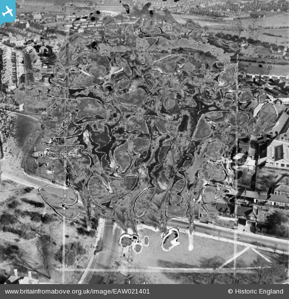
EAW021401 ENGLAND (1949). The Kingsbury Works Estate (site of), Kingsbury, 1949. This image has been produced from a damaged negative.
© Copyright OpenStreetMap contributors and licensed by the OpenStreetMap Foundation. 2026. Cartography is licensed as CC BY-SA.
Nearby Images (8)
EAW021401
, Kingsbury, 1949. This image has been produced from a damaged negative.")
EAW021402

EAW021406

EAW021403

EAW021407

EAW021405

EAW021404

EPW024254

Details
| Title | [EAW021401] The Kingsbury Works Estate (site of), Kingsbury, 1949. This image has been produced from a damaged negative. |
| Reference | EAW021401 |
| Date | 15-March-1949 |
| Link | |
| Place name | KINGSBURY |
| Parish | |
| District | |
| Country | ENGLAND |
| Easting / Northing | 520603, 188485 |
| Longitude / Latitude | -0.25917681744122, 51.581829540347 |
| National Grid Reference | TQ206885 |
Pins
Be the first to add a comment to this image!