
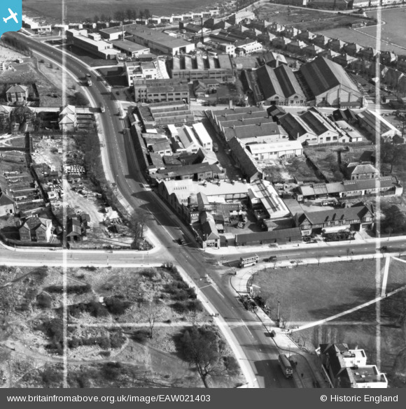
EAW021403 ENGLAND (1949). The Kingsbury Works Estate, Kingsbury, 1949. This image has been produced from a print marked by Aerofilms Ltd for photo editing.
© Copyright OpenStreetMap contributors and licensed by the OpenStreetMap Foundation. 2026. Cartography is licensed as CC BY-SA.
Nearby Images (8)
EAW021403

EAW021405

EAW021404

EAW021407

EAW021401
, Kingsbury, 1949. This image has been produced from a damaged negative.")
EAW021406

EAW021402

EPW024254

Details
| Title | [EAW021403] The Kingsbury Works Estate, Kingsbury, 1949. This image has been produced from a print marked by Aerofilms Ltd for photo editing. |
| Reference | EAW021403 |
| Date | 15-March-1949 |
| Link | |
| Place name | KINGSBURY |
| Parish | |
| District | |
| Country | ENGLAND |
| Easting / Northing | 520549, 188519 |
| Longitude / Latitude | -0.25994420866384, 51.582146695282 |
| National Grid Reference | TQ205885 |
Pins

The Laird |
Friday 4th of March 2016 01:52:38 AM | |
 |
PhilWHS |
Sunday 24th of May 2015 08:29:05 PM |