
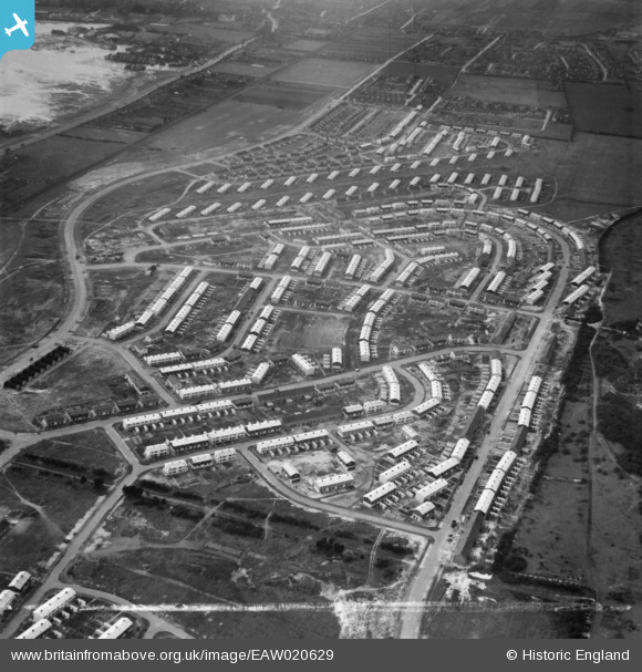
EAW020629 ENGLAND (1948). Paulsgrove Housing Estate, Paulsgrove, 1948. This image was marked by Aerofilms Ltd for photo editing.
© Copyright OpenStreetMap contributors and licensed by the OpenStreetMap Foundation. 2026. Cartography is licensed as CC BY-SA.
Nearby Images (6)
EAW020629

EAW020638

EAW020631

EAW020625

EAW020632

EAW020634

Details
| Title | [EAW020629] Paulsgrove Housing Estate, Paulsgrove, 1948. This image was marked by Aerofilms Ltd for photo editing. |
| Reference | EAW020629 |
| Date | 8-December-1948 |
| Link | |
| Place name | PAULSGROVE |
| Parish | |
| District | |
| Country | ENGLAND |
| Easting / Northing | 463566, 106206 |
| Longitude / Latitude | -1.096897986713, 50.851316184587 |
| National Grid Reference | SU636062 |
Pins

Mr N Easton |
Wednesday 17th of May 2017 11:28:12 AM | |
|
Mr N Easton |
Wednesday 17th of May 2017 11:27:02 AM | |
|
Mr N Easton |
Wednesday 17th of May 2017 11:26:20 AM | |
|
Mr N Easton |
Wednesday 17th of May 2017 11:25:48 AM | |
|
Mr N Easton |
Wednesday 17th of May 2017 11:25:14 AM | |
|
Mr N Easton |
Wednesday 17th of May 2017 11:24:38 AM |