
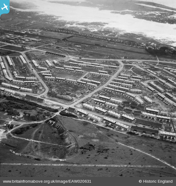
EAW020631 ENGLAND (1948). Housing surrounding Woofferton Road, Paulsgrove, 1948. This image was marked by Aerofilms Ltd for photo editing.
© Copyright OpenStreetMap contributors and licensed by the OpenStreetMap Foundation. 2026. Cartography is licensed as CC BY-SA.
Nearby Images (6)
EAW020631

EAW020629

EAW020638

EAW020636

EAW020632

EAW020625

Details
| Title | [EAW020631] Housing surrounding Woofferton Road, Paulsgrove, 1948. This image was marked by Aerofilms Ltd for photo editing. |
| Reference | EAW020631 |
| Date | 8-December-1948 |
| Link | |
| Place name | PAULSGROVE |
| Parish | |
| District | |
| Country | ENGLAND |
| Easting / Northing | 463502, 106298 |
| Longitude / Latitude | -1.0977911734811, 50.852150516343 |
| National Grid Reference | SU635063 |
Pins
Be the first to add a comment to this image!