
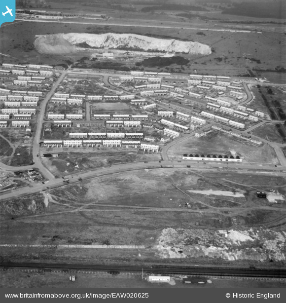
EAW020625 ENGLAND (1948). Paulsgrove Housing Estate and the Paulsgrove Chalk Pit, Paulsgrove, 1948. This image was marked by Aerofilms Ltd for photo editing.
© Copyright OpenStreetMap contributors and licensed by the OpenStreetMap Foundation. 2026. Cartography is licensed as CC BY-SA.
Nearby Images (5)
EAW020625

EAW020629

EAW020638

EAW020634

EAW020631

Details
| Title | [EAW020625] Paulsgrove Housing Estate and the Paulsgrove Chalk Pit, Paulsgrove, 1948. This image was marked by Aerofilms Ltd for photo editing. |
| Reference | EAW020625 |
| Date | 8-December-1948 |
| Link | |
| Place name | PAULSGROVE |
| Parish | |
| District | |
| Country | ENGLAND |
| Easting / Northing | 463653, 106051 |
| Longitude / Latitude | -1.095689067486, 50.849912794385 |
| National Grid Reference | SU637061 |
Pins

Mr N Easton |
Wednesday 17th of May 2017 11:22:46 AM | |
|
Mr N Easton |
Wednesday 17th of May 2017 11:22:05 AM | |
|
Mr N Easton |
Wednesday 17th of May 2017 11:18:45 AM | |
|
Mr N Easton |
Wednesday 17th of May 2017 11:16:56 AM | |
|
Mr N Easton |
Wednesday 17th of May 2017 11:15:01 AM | |
|
Mr N Easton |
Wednesday 17th of May 2017 11:14:17 AM |