
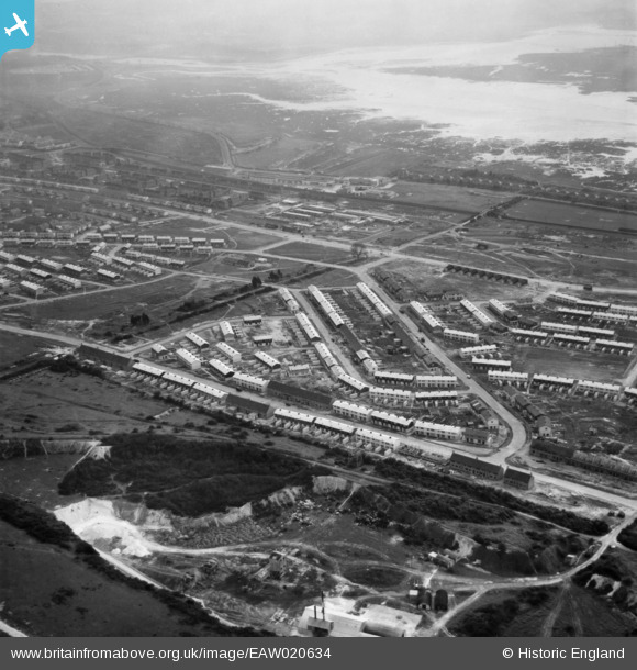
EAW020634 ENGLAND (1948). Housing surrounding Elkstone Road and Winchcombe Road, Paulsgrove, 1948
© Copyright OpenStreetMap contributors and licensed by the OpenStreetMap Foundation. 2026. Cartography is licensed as CC BY-SA.
Nearby Images (4)
EAW020634

EAW020638

EAW020625

EAW020629

Details
| Title | [EAW020634] Housing surrounding Elkstone Road and Winchcombe Road, Paulsgrove, 1948 |
| Reference | EAW020634 |
| Date | 8-December-1948 |
| Link | |
| Place name | PAULSGROVE |
| Parish | |
| District | |
| Country | ENGLAND |
| Easting / Northing | 463806, 106224 |
| Longitude / Latitude | -1.0934855491912, 50.851451614631 |
| National Grid Reference | SU638062 |
Pins
Be the first to add a comment to this image!