
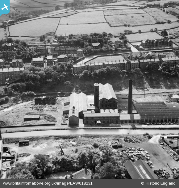
EAW018231 ENGLAND (1948). Commercial Mills and environs, Slaithwaite, 1948
© Copyright OpenStreetMap contributors and licensed by the OpenStreetMap Foundation. 2026. Cartography is licensed as CC BY-SA.
Nearby Images (7)
EAW018231

EAW018232

EAW018230

EAW018227

EAW018226

EAW018229

EAW018228

Details
| Title | [EAW018231] Commercial Mills and environs, Slaithwaite, 1948 |
| Reference | EAW018231 |
| Date | 18-August-1948 |
| Link | |
| Place name | SLAITHWAITE |
| Parish | |
| District | |
| Country | ENGLAND |
| Easting / Northing | 407765, 413792 |
| Longitude / Latitude | -1.8825941168192, 53.620375835641 |
| National Grid Reference | SE078138 |
Pins
Be the first to add a comment to this image!