
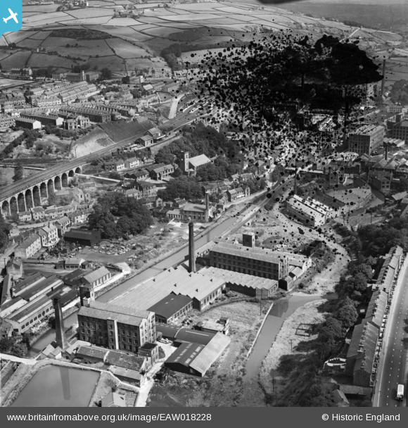
EAW018228 ENGLAND (1948). Upper Mill and environs, Slaithwaite, 1948. This image has been produced from a damaged negative.
© Copyright OpenStreetMap contributors and licensed by the OpenStreetMap Foundation. 2026. Cartography is licensed as CC BY-SA.
Nearby Images (7)
EAW018228

EAW018229

EAW018227

EAW018231

EAW018230

EAW018232

EAW018226

Details
| Title | [EAW018228] Upper Mill and environs, Slaithwaite, 1948. This image has been produced from a damaged negative. |
| Reference | EAW018228 |
| Date | 18-August-1948 |
| Link | |
| Place name | SLAITHWAITE |
| Parish | |
| District | |
| Country | ENGLAND |
| Easting / Northing | 407793, 413951 |
| Longitude / Latitude | -1.882166780525, 53.621804712013 |
| National Grid Reference | SE078140 |
