
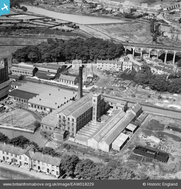
EAW018229 ENGLAND (1948). Upper Mill, Slaithwaite, 1948
© Copyright OpenStreetMap contributors and licensed by the OpenStreetMap Foundation. 2026. Cartography is licensed as CC BY-SA.
Nearby Images (7)
EAW018229

EAW018227

EAW018228

EAW018226

EAW018231

EAW018232

EAW018230

Details
| Title | [EAW018229] Upper Mill, Slaithwaite, 1948 |
| Reference | EAW018229 |
| Date | 18-August-1948 |
| Link | |
| Place name | SLAITHWAITE |
| Parish | |
| District | |
| Country | ENGLAND |
| Easting / Northing | 407696, 413899 |
| Longitude / Latitude | -1.8836347409192, 53.621338705296 |
| National Grid Reference | SE077139 |
