
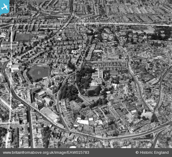
EAW015783 ENGLAND (1948). Tyndall's Park, Bristol, 1948. This image has been produced from a print marked by Aerofilms Ltd for photo editing.
© Copyright OpenStreetMap contributors and licensed by the OpenStreetMap Foundation. 2026. Cartography is licensed as CC BY-SA.
Nearby Images (21)
EAW015783

EAW015779

EPW047092

EAW015784

EAW015782

EAW000735

EPW005469

EAW000733

EAW000734

EPW033150

EAW000736

EPW011998

EPW041484

EPW033149

EAW015780

EPW041482

EPW022271

EAW015781

EPW022270

EPW033151

EPW033148

Details
| Title | [EAW015783] Tyndall's Park, Bristol, 1948. This image has been produced from a print marked by Aerofilms Ltd for photo editing. |
| Reference | EAW015783 |
| Date | 18-May-1948 |
| Link | |
| Place name | BRISTOL |
| Parish | |
| District | |
| Country | ENGLAND |
| Easting / Northing | 358215, 173415 |
| Longitude / Latitude | -2.6014821769676, 51.457680559339 |
| National Grid Reference | ST582734 |
Pins
Be the first to add a comment to this image!