
EAW015300 ENGLAND (1948). The Willenhall Foundry and environs, Willenhall, 1948. This image has been produced from a print marked by Aerofilms Ltd for photo editing.

© Copyright OpenStreetMap contributors and licensed by the OpenStreetMap Foundation. 2026. Cartography is licensed as CC BY-SA.
Nearby Images (11)
EAW015300

EAW015294

EAW015296

EAW015295

EAW015298

EAW015293

EAW015299

EAW015297

EAW015301

EAW000767

EAW047004

Details
| Title | [EAW015300] The Willenhall Foundry and environs, Willenhall, 1948. This image has been produced from a print marked by Aerofilms Ltd for photo editing. |
| Reference | EAW015300 |
| Date | 7-May-1948 |
| Link | |
| Place name | WILLENHALL |
| Parish | |
| District | |
| Country | ENGLAND |
| Easting / Northing | 397209, 298210 |
| Longitude / Latitude | -2.0411948387598, 52.581336517202 |
| National Grid Reference | SO972982 |
Pins

redmist |
Wednesday 12th of October 2022 02:42:33 PM | |
|
redmist |
Wednesday 12th of October 2022 02:41:50 PM | |
|
KevTheBusDriver |
Sunday 28th of June 2015 10:07:57 PM | |
|
PaulEdwards |
Wednesday 17th of June 2015 05:44:51 PM | |
|
PaulEdwards |
Wednesday 17th of June 2015 05:41:48 PM | |
|
PaulEdwards |
Wednesday 17th of June 2015 05:39:52 PM | |
|
PaulEdwards |
Wednesday 17th of June 2015 05:39:17 PM | |
|
PaulEdwards |
Wednesday 17th of June 2015 05:35:49 PM | |
|
PaulEdwards |
Wednesday 17th of June 2015 05:34:11 PM | |
|
PaulEdwards |
Wednesday 17th of June 2015 05:32:45 PM | |
|
PaulEdwards |
Wednesday 17th of June 2015 05:31:56 PM | |
|
PaulEdwards |
Wednesday 17th of June 2015 05:30:58 PM | |
|
PaulEdwards |
Wednesday 17th of June 2015 05:29:29 PM |
User Comment Contributions
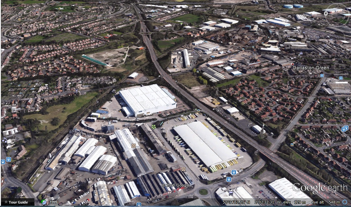
A google earth view from a similar position. |
PaulEdwards |
Wednesday 17th of June 2015 05:50:16 PM |