
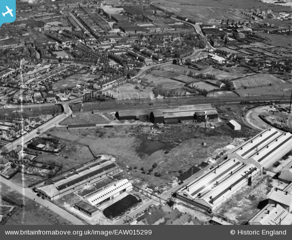
EAW015299 ENGLAND (1948). The Willenhall Foundry and the surrounding area, Willenhall, 1948. This image was marked by Aerofilms Ltd for photo editing.
© Copyright OpenStreetMap contributors and licensed by the OpenStreetMap Foundation. 2026. Cartography is licensed as CC BY-SA.
Nearby Images (10)
EAW015299

EAW015293

EAW015295

EAW015298

EAW015297

EAW015296

EAW015294

EAW015300

EAW015301

EAW000767

Details
| Title | [EAW015299] The Willenhall Foundry and the surrounding area, Willenhall, 1948. This image was marked by Aerofilms Ltd for photo editing. |
| Reference | EAW015299 |
| Date | 7-May-1948 |
| Link | |
| Place name | WILLENHALL |
| Parish | |
| District | |
| Country | ENGLAND |
| Easting / Northing | 397127, 298213 |
| Longitude / Latitude | -2.0424051749942, 52.581363062578 |
| National Grid Reference | SO971982 |
Pins

redmist |
Wednesday 12th of October 2022 02:21:38 PM | |
|
redmist |
Wednesday 12th of October 2022 02:20:50 PM | |
|
redmist |
Wednesday 12th of October 2022 02:08:04 PM | |
|
redmist |
Wednesday 12th of October 2022 02:07:01 PM | |
|
KevTheBusDriver |
Sunday 28th of June 2015 09:56:37 PM | |
|
Bentleyboy |
Sunday 6th of April 2014 11:11:14 PM | |
|
Bentleyboy |
Sunday 6th of April 2014 11:08:42 PM | |

Class31 |
Monday 17th of March 2014 10:48:12 PM | |
|
Class31 |
Monday 17th of March 2014 10:45:20 PM | |
|
Class31 |
Monday 17th of March 2014 10:44:33 PM |